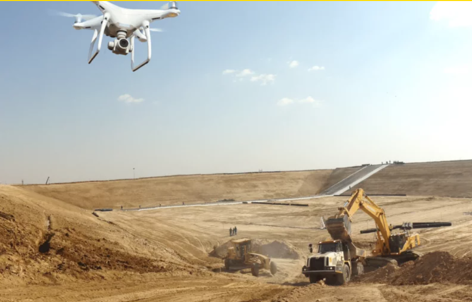
Technology helps us get where we normally cannot reach. Drones allow us to survey difficult-access construction sites and offer us precise information about challenging landscapes.
These unmanned flying devices are changing the way we tackle projects in two aspects:
-Drones capture 3D information with topographic precision to take measures and designs.
- Monthly follow-up in birdseye view of projects, used for reporting, contract management, communications purposes, etc.
“We’ve been using drones in pretty much all countries for the past four years”, explains Jorge Barangé Cuevas, Head of Topography and Layout in America for Sacyr Engineering and Infrastructures.
“Topography-wise, drones allow us to capture information about the terrain in a quick and efficient manner. Its use is widely used for earthworks, geotechnical engineering, progress control, and environmental issues, since it allows to obtain data from areas that we cannot physically reach”.
Additionally, drones have become a reporting tool. Consequence of the pandemic and travel restrictions, the necessity of keeping an extensive overview of project progress without having a supervisor specifically go on site.
“We needed monthly information about our projects, and to keep progress control reports we started taking footage and uploading it on to a digital platform”, explains Jorge Barangé.

3D imaging taken from drones has a one to two inches precision range, which allows to measure, see fasteners, determine whether there are landslides, review designs, program cross-sections, etc.
The software we use, Propeller, reduces time and costs, especially in scraped, mountainous terrain, with dense vegetation, such as Colombia. These systems offer easy-access cloud services for our entire team.
“In the past, a drone used to be a highly complex piece of equipment, but nowadays it’s a four-pound toy, with a very potent camera. We train topography personnel in drone flying”, explains Barangé.
Like all tools, drones have their limitations. “We cannot fly drones freely wherever we like, due to national restrictions in all countries, some more restrictive than others”, explains Marcelo Onsurbe, Director of the Layout and Topography of Sacyr Engineering and Infrastructures.

Using drones also contributes to reducing the carbon footprint, as it prevents traveling and waste of materials.
Drone use, which was almost experimental a few years ago, is widely spread nowadays. With drones, we can perform massive imaging surveys, use them as scanning and mobile mapping devices, and integrate all aerial and terrestrial sensors.
Currently, we use drones regularly in the USA, Colombia, Peru, Uruguay, Chile, Ireland, Portugal, and Spain.
The projects we develop start with their feet on the ground, we mostly execute them from the skies.