The aim is to try to avoid a route if it is highly polluted, so as not to raise the CO2 levels, and to choose another to balance levels of stale air.
This environmentally sustainable behavior is what Sacyr is looking for with the Enviro&Maps project. “It is a geographical information system that takes climate values and environmental pollution into account,” explains Jorge Zarzuelo, Sacyr Conservación’s head of innovation, provisioning and machinery inventory.

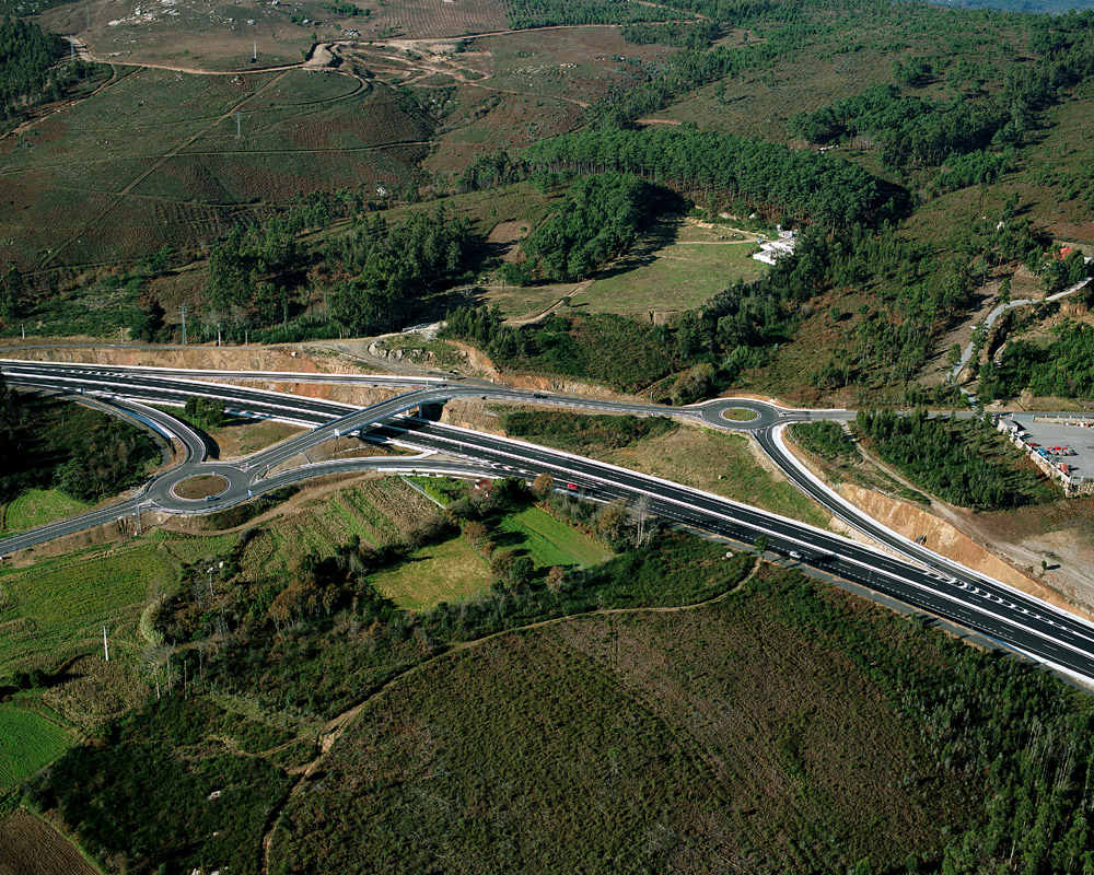
Navigation algorithms
It has an environmentally smart route planning and prediction engine that, depending on air quality levels and how they evolve, can calculate the optimal route considering the lowest level of pollution.
The navigation algorithm applies traffic restrictions and road closures, avoiding passing through areas with high emissions.
This project is part of the Spanish Center for the Development of Industrial Technology’s (CDTI´s) CIEN program, specifically InRoad 4.0: Intelligent Roads for a 0 Vision (0 deceased, 0 injured, 0 congestion and 0 emissions). It is being developed in collaboration with the Technological Institute of Castile and León.
“Climate variables and the most significant types of emissions in terms of pollution have been studied. We have developed a navigator which, as well as looking at air quality levels, has an algorithm that takes environmental components into account and looks for the optimal route based on them if you want to calculate the route between two points,” explains Zarzuelo.

The aim: to improve air quality
It also has a predictive engine for future pollution scenarios that takes the evolution of current weather conditions into account and analyzes historical conditions over the past 10 years.
The final aim of the project is to develop a tool to enable us to improve air quality in Madrid and to attempt to give a much more balanced spread.
“This navigator is ideal for environmentally-aware drivers or for authorities that decide to prioritize air quality. The calculation algorithm weights the route emissions variable first, then the time between the points and then the distance traveled,” Jorge highlights.
Enviro&Maps is currently a prototype under development, testing of which is to be complete in March 2022.